
About This Quiz
Sure, we go by "United States" and, indeed, we are. Forty-eight of our states are contiguous (that means we're connected physically, separated only by invisible borders), while two of them — Hawaii and Alaska — are hanging out doing their own thing. But that doesn't mean there aren't some interesting stories about how each state took shape, though. Sure, Wyoming and Colorado look pretty symmetrical, but have you seen Michigan or Florida, or what about West Virginia?
In fact, there are loads of fascinating anecdotes about how the map we know today came to be. Of course, there were some states whose borders were developed thanks to natural elements or disasters, land disputes, and even war. The Revolutionary War alone can be thanked for giving the 13 states not only their shapes but also their neighbors. Some states, like Texas, created their own boundaries exactly how they wanted them ... just because. We guess this is why you don't mess with Texas!
We're wondering, though: Can you name the state if we give you a couple of its neighbors? Who borders only New Hampshire? Which state wants all the neighbors, sharing borders with Iowa, Illinois, Kentucky, Tennessee, Arkansas, Oklahoma, Kansas and Nebraska? Think back to your U.S. geography class and map out your answers!

Texas has developed a reputation for itself as a bit of a wild card, with lawmakers there setting their own borders and the rest of the country too afraid to say "no." Today, it is bordered by New Mexico to its west, Oklahoma to its north and Arkansas and Louisiana to its east.
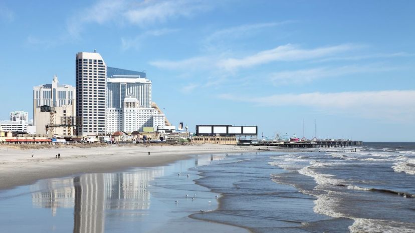
New Jersey is a tiny little state with easy access to some of America's largest cities, including the Big Apple (New York) and the City of Brotherly Love (Philadelphia). New Jersey is considered a peninsula and also has landscape along the Atlantic Ocean.
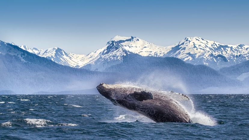
Alaska became a state in 1959, but it remains separated from the lower 48, thanks to the presence of the United States' northern neighbor, Canada. Alaska is the United States' largest state in terms of land area.
Advertisement
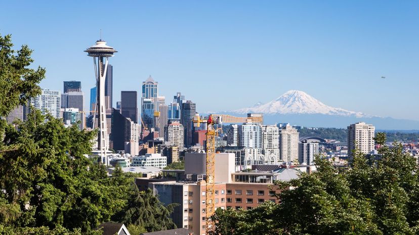
Washington benefits from being in the United States' westernmost corner, with its western edge facing the Pacific Ocean and its northern border being shared by Canada. That only leaves Idaho to its east and Oregon below as its neighbors.

Pre-Civil War, West Virginia and Virginia were just, well, Virginia. Differing beliefs during the Civil War led to West Virginia seceding from Virginia. Today, its irregular shape means it borders five states in total.
Georgia might be the heart of the south, surrounded by both Carolinas, Tennessee, Alabama and Florida. Georgia is home to Atlanta, which is a major hub of transportation, technology, finance, shipping and manufacturing.
Advertisement

Hawaii sits entirely in the Pacific Ocean and is made up of 137 different islands. Despite its small size, its vast amount of coastlines adds up to one of the United States' longest coastlines among all 50 of its members.
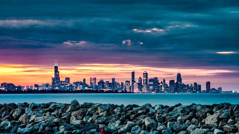
Indiana, the Hoosier State, is primely positioned in the midst of the Midwest, anchoring an area known as "America's Heartland." Bordering Indiana are Michigan, Ohio, Illinois and Kentucky.

Did you learn to spell Mississippi as “M, I, crooked letter, crooked letter, I, crooked letter, crooked letter, I, humpback, humpback, I?" If not, you missed out. That was an easy way to learn to spell it. Learning its neighbors, though, is as simple as remembering Louisiana and Arkansas to its west, Tennessee to its north and Alabama to its east.
Advertisement
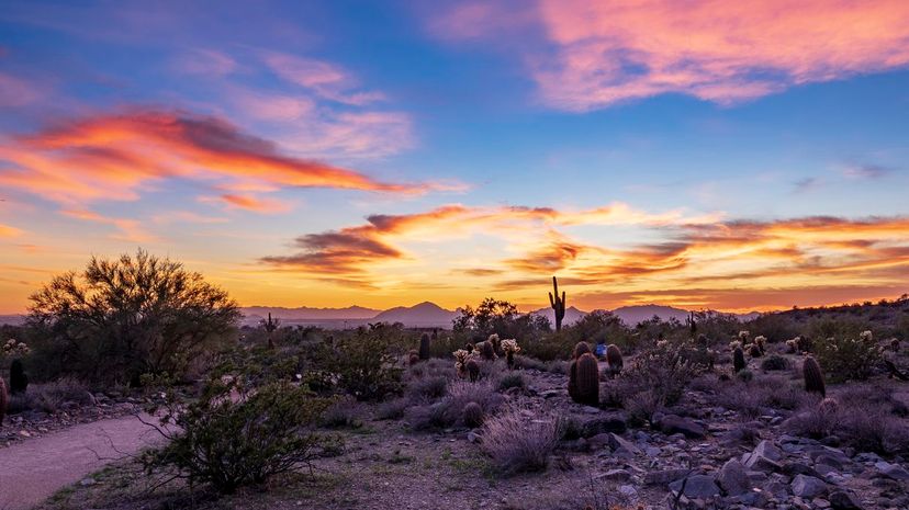
Arizona's positioning means that it has both United States neighbors and Mexican state neighbors. To its north, west and east, it enjoys relationships with Nevada, New Mexico, Utah, California and Colorado.

Louisiana's southern border aligns with the Gulf of Mexico, but it is bordered on its other three sides by Texas (to the west), Mississippi (to the east) and Arkansas (to the north).

The Keystone State, better known as Pennsylvania, is actually a Commonwealth, which is bordered by six states to its north, south, east and west. Pennsylvania also boasts 140 miles of coastline on Lake Erie.
Advertisement
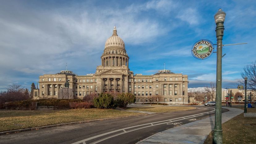
Idaho takes up nearly 84,000 square miles of territory and has a bit of an identity crisis, being considered part of both the Pacific Northwest and the Mountain states. Its large size gives it borders with numerous states, including Utah, Washington, Wyoming, Montana, Nevada and Oregon.

North Dakota shares its northern border with Canada but is surrounded by another Dakota (that's South Dakota), Minnesota and Montana to its south, east and west. North and South Dakota used to be one state until a dispute over the territory's capital caused a split.
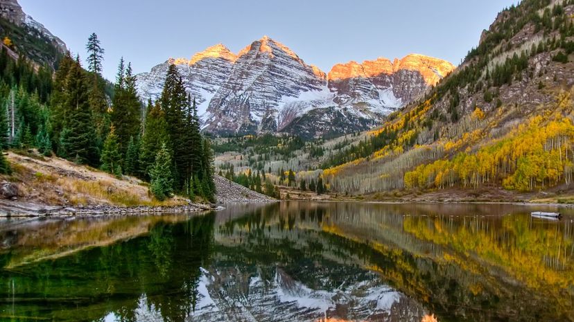
Colorado is one of the more symmetrical states in the Union, lending itself to a square or rectangular shape. It is surrounded by seven states and nearly Texas, separated by only the tiny panhandle of Oklahoma.
Advertisement

Delaware is so small, it has only three counties. Three. Total. It's surrounded by some much larger states, however, including Pennsylvania, New Jersey and Maryland. And if New Jersey is considered larger than you, you know you're pretty tiny.

It's another Commonwealth, that is, the Commonwealth of Kentucky. Its elongated shape, similar to Tennessee's to its south, allows it to "touch" many states, including Virginia, West Virginia, Illinois, Indiana, Missouri and Ohio.

Phew, Missouri is really landlocked and a neighbor to many other states. It is tied with Tennessee for the most interstate borders, including those with Nebraska, Oklahoma, Tennessee, Arkansas, Illinois, Iowa, Kansas and Kentucky.
Advertisement
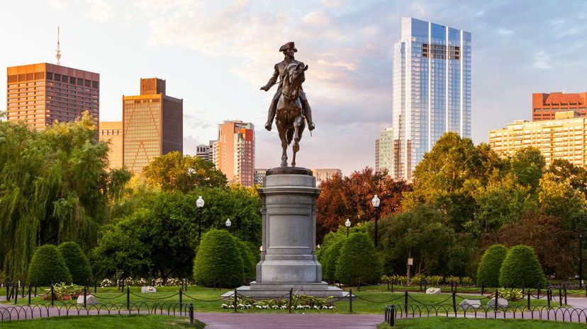
Massachusetts is New England's most populous state, even though it's not the largest by far. Its neighboring states include New York to its west, Connecticut and Rhode Island to its south and New Hampshire and Vermont to its north. That's a lot of states in a small area!
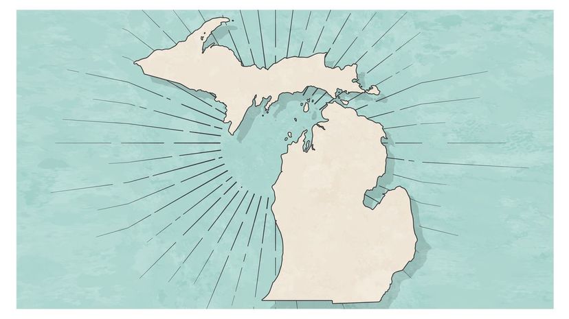
Other than Minnesota, with which it shares a water border, Michigan is flanked by Ohio, Wisconsin, Illinois and Indiana. It is home to the Motor City — Detroit — a hub of manufacturing and business for major automakers.

The Palmetto State, South Carolina, is squeezed between Georgia and North Carolina, along the coast of the Atlantic Ocean. North and South Carolina used to be one province but then split, causing arguments over what would eventually become the border between the states.
Advertisement

Nevada is a destination for those who love the nightlife; Las Vegas and Reno are two top destinations. Visitors from the neighboring states of Idaho, Oregon, Utah, Arizona and California can hop over here in a jiffy.

Today, Ohio uses the slogan, "So much to discover," but its location as the center of its bordering states remains the same. You can find Michigan to its north, Indiana to its west, Kentucky to its south and West Virginia and Pennsylvania to its east.

New York is home to one of the world's greatest tourist destinations, New York City, which is easily accessed from its neighboring states, including Pennsylvania, Rhode Island, Vermont, Connecticut, Massachusetts and New Jersey.
Advertisement
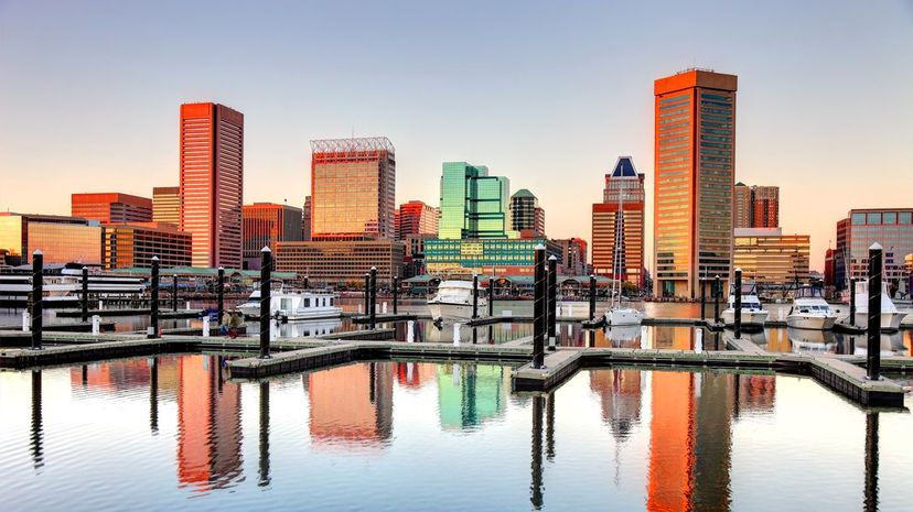
Maryland, the "Old Line State," is primarily positioned on the Chesapeake Bay estuary, but shares state lines with Virginia, West Virginia, Delaware and Pennsylvania. Parts of the state are considered part of the Appalachian region, like its neighbors.

Talk about wide-open spaces. Montana's nickname as "Big Sky Country" is due, in part, to its vast landscapes that put the sky on center stage. It shares a border with Wyoming, Idaho and both North and South Dakota.
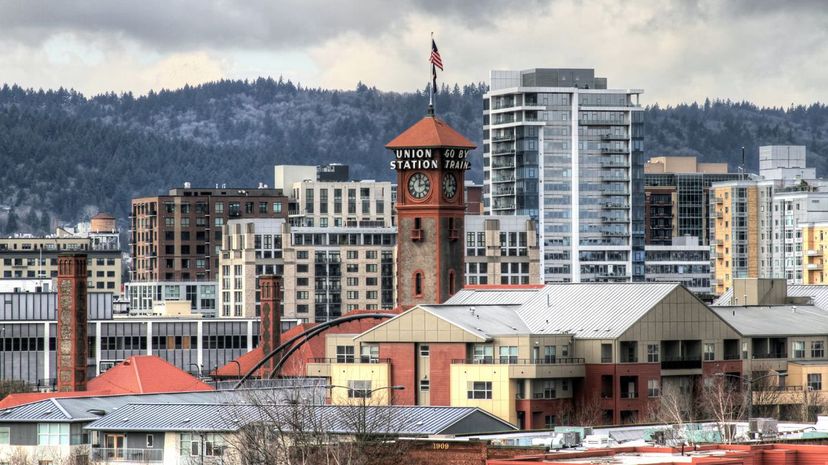
Located in the Pacific Northwest, Oregon shares its western coast with the Pacific Ocean and the remainder of its borders with the states of Washington (to the north), Idaho to its east, and both California and Nevada to its south.
Advertisement
California occupies a large portion of the United States' West Coast, bordering neighboring states Oregon (to the north) and both Arizona and Nevada to the east. The Mexican state of Baja California sits at the state's far southern border.
Wisconsin is well known for its contributions to our national love of cheese and dairy, but did you know this northern state also borders four states and two Great Lakes (Michigan and Superior)? Its odd shape gives it lots of neighbors.
It's fitting that the state known as the "Land of 10,000 Lakes" shares a water border with Michigan, isn't it? But Minnesota has other neighbors, too, including both Dakotas, Wisconsin and Iowa.
Advertisement
In Alabama, saying "Roll Tide" in honor of the state's flagship football program at the University of Alabama is as natural as saying "hello." Alabama's neighbors include Mississippi, Tennessee, Florida and Georgia.

Utah, the "Beehive State," is a buzz of activity along its borders, counting Nevada, New Mexico, Wyoming, Arizona, Colorado and Idaho among its neighbors. Utah was admitted to the Union as its 45th state in 1896.
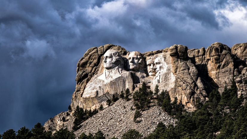
South Dakota is home to Mount Rushmore, a giant carving in granite of the faces of important former U.S. presidents. South Dakota is flanked by several western and midwestern states: Nebraska, North Dakota, Wyoming, Iowa, Minnesota and Montana.
Advertisement

There's a reason the group is called "Florida Georgia Line." That's because the two states are neighbors. Florida also neighbors Alabama, which sits directly north of the Florida panhandle.

You could call Kansas the literal "middle" of the United States; the geographic center falls near Lebanon, Kansas. Its shape gives it neatly-positioned neighbors, including Nebraska, Oklahoma, Colorado and Missouri.

New Mexico's roughly 122,000 square miles takes up a good amount of landscape in the western United States. It's no surprise, then, that it shares borders with multiple states, including Oklahoma, Texas, Utah, Arizona and Colorado.
Advertisement

The state known as "Land of Lincoln" has busy borders, that's for sure! In addition to three rivers, Illinois is bordered by six different states including Wisconsin, Iowa and Missouri.
Wyoming holds the distinction of being the United States' least populated state, but its neighbors make up for it. Colorado alone has more than 5.6 million residents. Its other neighbors include Nebraska, South Dakota, Utah, Idaho and Montana.

Virginia is in that unusual space on the map where it's unclear whether to classify it as a southern, northern or eastern state ... or all three! Its neighbors — North Carolina, Tennessee, West Virginia, Kentucky and Maryland — aren't much help since many fall into the same category.
Advertisement
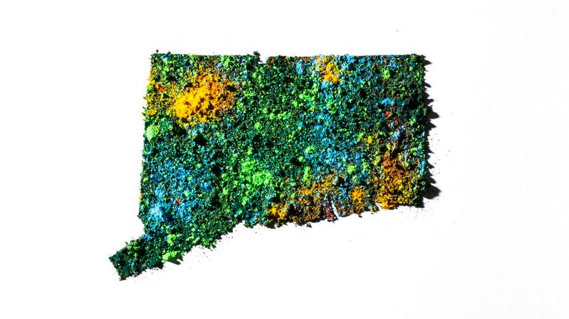
Connecticut may be small, but that doesn't stop it from having its share of border states. It looks like a postage stamp on a map of the United States, bordered by New York, Rhode Island and Massachusetts.

Nebraska is uniquely positioned as both part of the Midwest and the Great Plains, sharing its expansive borders with Missouri, South Dakota, Wyoming, Colorado, Iowa and Kansas.
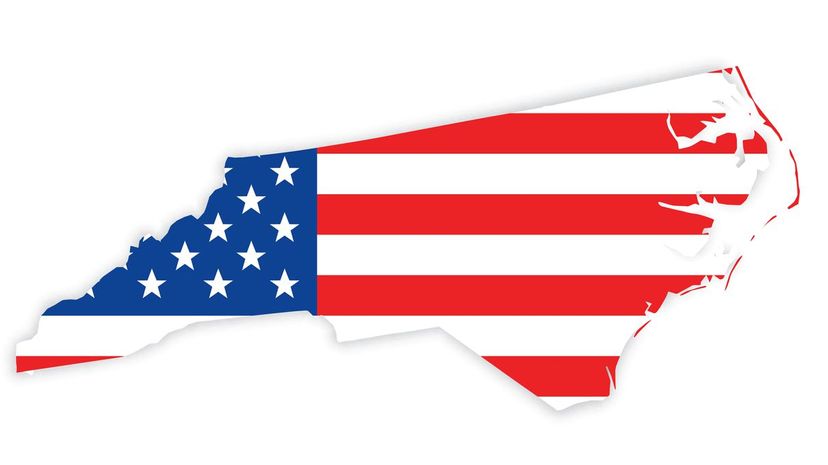
North Carolina's popular nickname has become synonymous with the state's University of North Carolina athletic programs. It shares its unusual borders with Tennessee, Virginia, Georgia and South Carolina.
Advertisement
If your travel plans from Oklahoma include trips to Missouri, New Mexico, Texas, Arkansas, Colorado or Kansas, you'll be able to get there pretty quickly — depending on where you're starting, of course.
Arkansas is home to the United States' only active diamond mine, and it has plenty of neighboring "bodyguards" in these states: Oklahoma, Tennessee, Texas, Louisiana, Mississippi and Missouri.

Iowa sits surrounded in the Midwest by both neighboring states and popular bodies of water. Among the states it shares borders with are Nebraska, South Dakota, Wisconsin, Illinois, Minnesota and Missouri.
Advertisement

Tennessee is tied with one other state for being the location with the most neighbors — eight in total. Tennessee is roughly 440 miles in length from its western edge to its eastern, which covers a lot of ground!

Rhode Island and New York share a water border, but the locale known as the "Ocean State" is direct neighbors with both Massachusetts and Connecticut. Despite its size, it also borders a small section of the Atlantic Ocean.
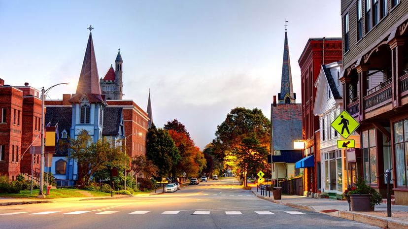
New Hampshire and Vermont are virtually twins, with one flipped upside down. New Hampshire also borders Maine and Massachusetts as a member of the northeastern United States.
Advertisement
Believe it or not, before Vermont joined the Union, it was its own country, just hanging out in the area of the country known as New England. Today, it is the United States' 14th state and a neighbor to New Hampshire, New York, and Massachusetts.

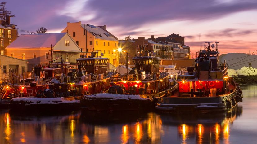
The Pine Tree State, better known as Maine, is not only the United States' northeasternmost state, but it is also the only state with only one bordering neighbor — New Hampshire. Maine does border the Canadian province of New Brunswick as well.